Hello, I’m Sylvie Falardeau, a geogapher, cartographer, and spatial thinker! On this page you can find some of my favorite professional projects.
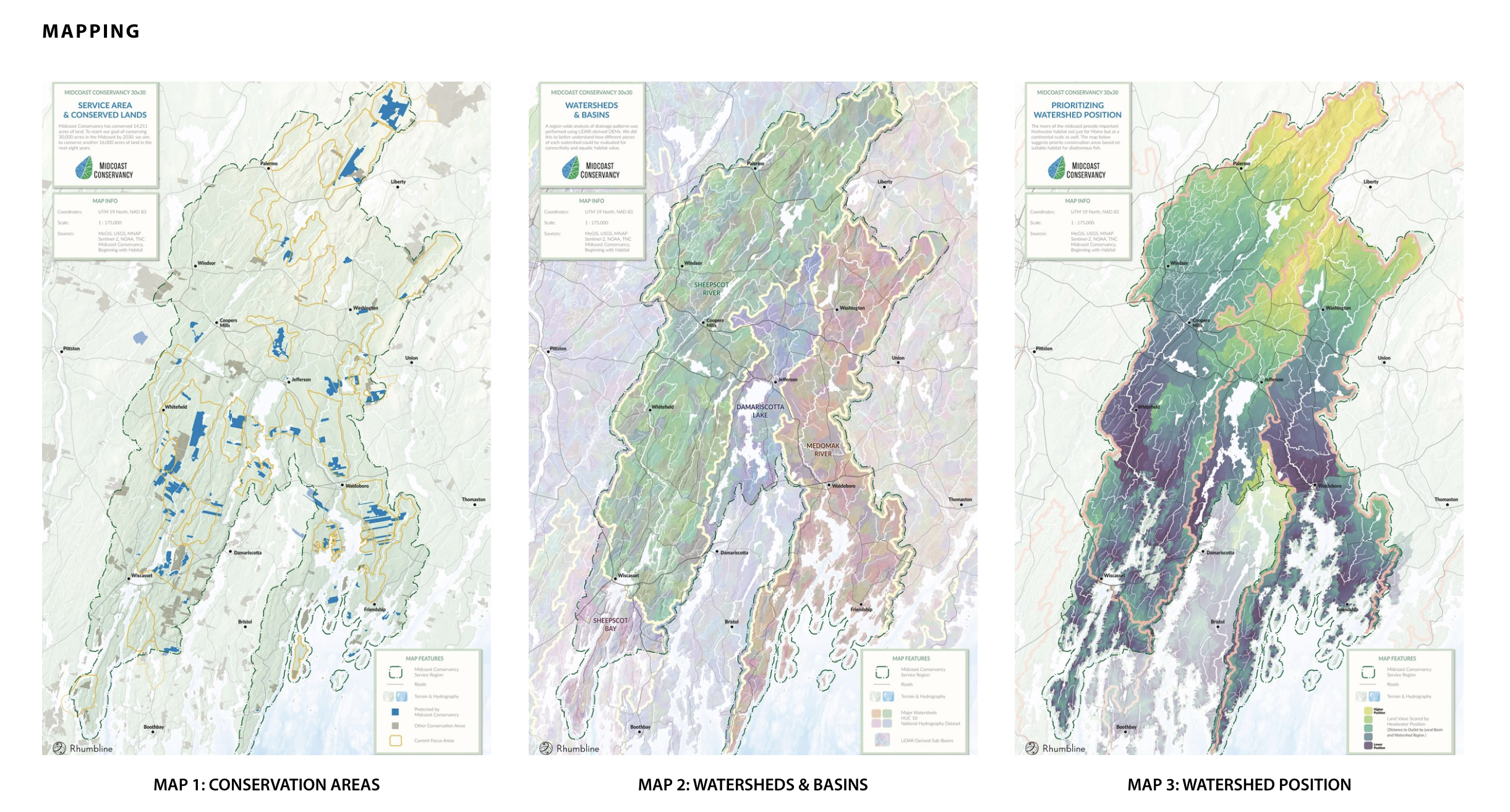
Midcoast Conservancy 30x30 Landscape Priority Assessment
Between the summer and fall of 2022, I assessed the lands and waters of Midcoast Maine using a wide variety of openly available data, including LiDAR terrain, ecological features, undeveloped blocks, traffic, CCAP land cover, and more. Two large portions of this multiple criteria evaluation project were devoted to scripting terrestrial connectivity analysis and to carrying out watershed analyses using Python and Whitebox Tools in conjunction with QGIS. The technical document I have linked describes our analytical procedure, and in particular I wrote the bulk of Chapter 3 (pages 42-56). More on the Midcoast Conservancy’s 30x30 Conservation Initiative here.
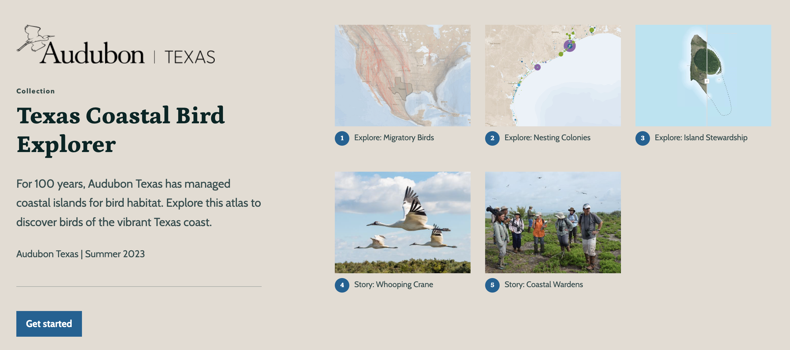
Texas Coastal Bird Explorer
A five-month (January-May 2023) digital cartography project in which I developed an ArcGIS Collection consisting of interactive web experiences, based largely in ArcGIS Experience Builder. This project provided me with the opportunity to learn all the workings of ArcGIS Online from a point of relatively basic familiarity to an advanced level. Full Audubon splash here.